Space/territory
The ways of appropriating and organizing peri-urban space and territory (territory organization and protection, circulation and access [roads, stations], resource management [irrigation, quarries/mines]), whether they have led to the formation and development of dense or dispersed settlements (cities, villages, settlements on arid margins), or result from the activity of these settlements in their immediate environment (water storage, necropolises), play a major role in their sustainability.
OrAM studies them in the Levant (Palestine, Lebanon, Syria), in Egypt, the Arabian Peninsula, Iran, and Tajikistan. This theme is part of Axis 2 of ArScAn.
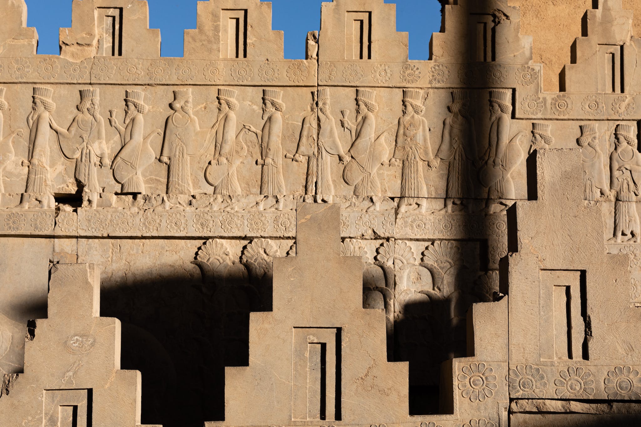
- networks of cities (urbanization/polynucleation [cities in the landscape, urban networks…]), fortresses (empire boundaries, territorial protection), roads; their locations (parcels, terrain): G. Thébault; M. Gelin; C. Saliou.
- villages (this topic also includes architecture); local lands: P. Clauss-Balty; R. Harfouche.
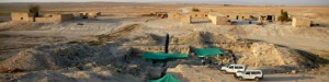
- anthropization of the territory; landscape archaeology: P. Ghasemi; R. Harfouche.
- supply, usage, and management of water; arid and semi-arid environments; oases: P.-M. Blanc; M. Gelin; M. Mouton; G. Tallet; V. Bombeau.
- necropolises and rock-cut necropolises: M. Laguardia; L. Bigot.